Recent searches
Search options

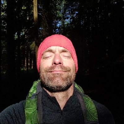
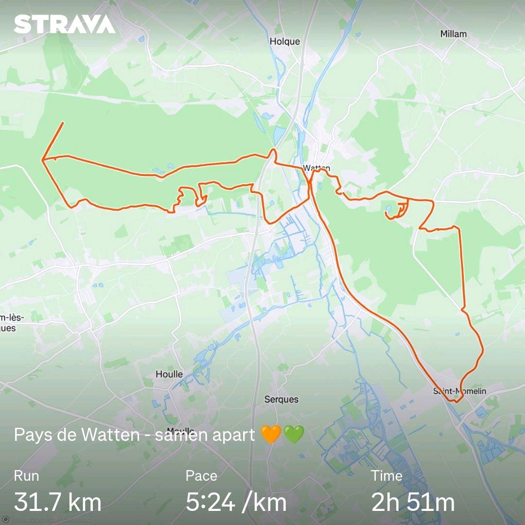
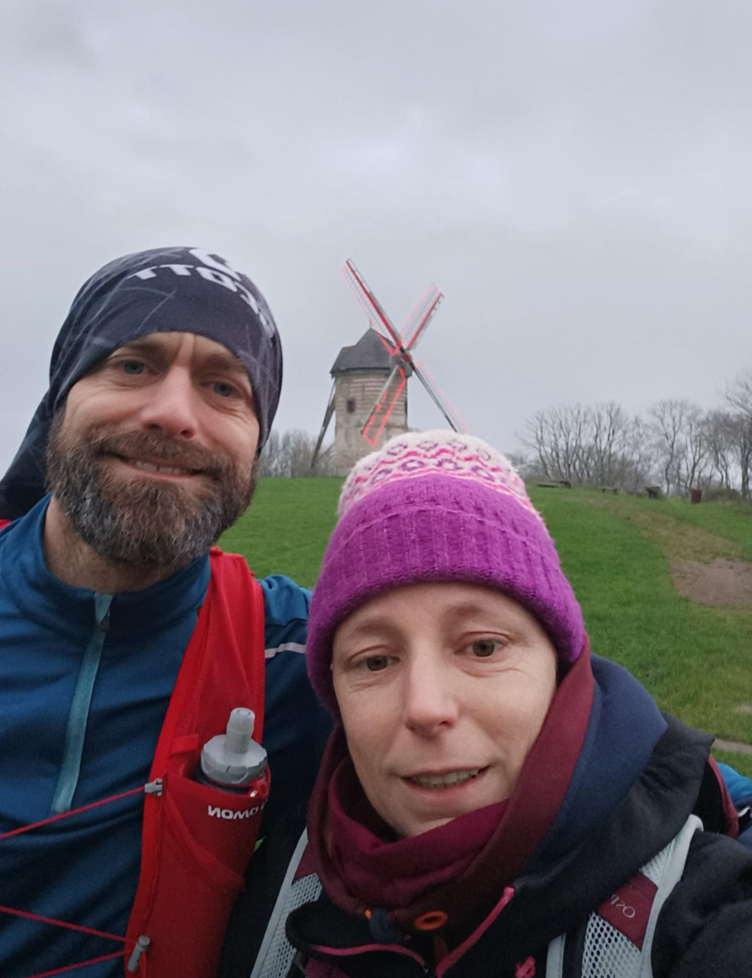
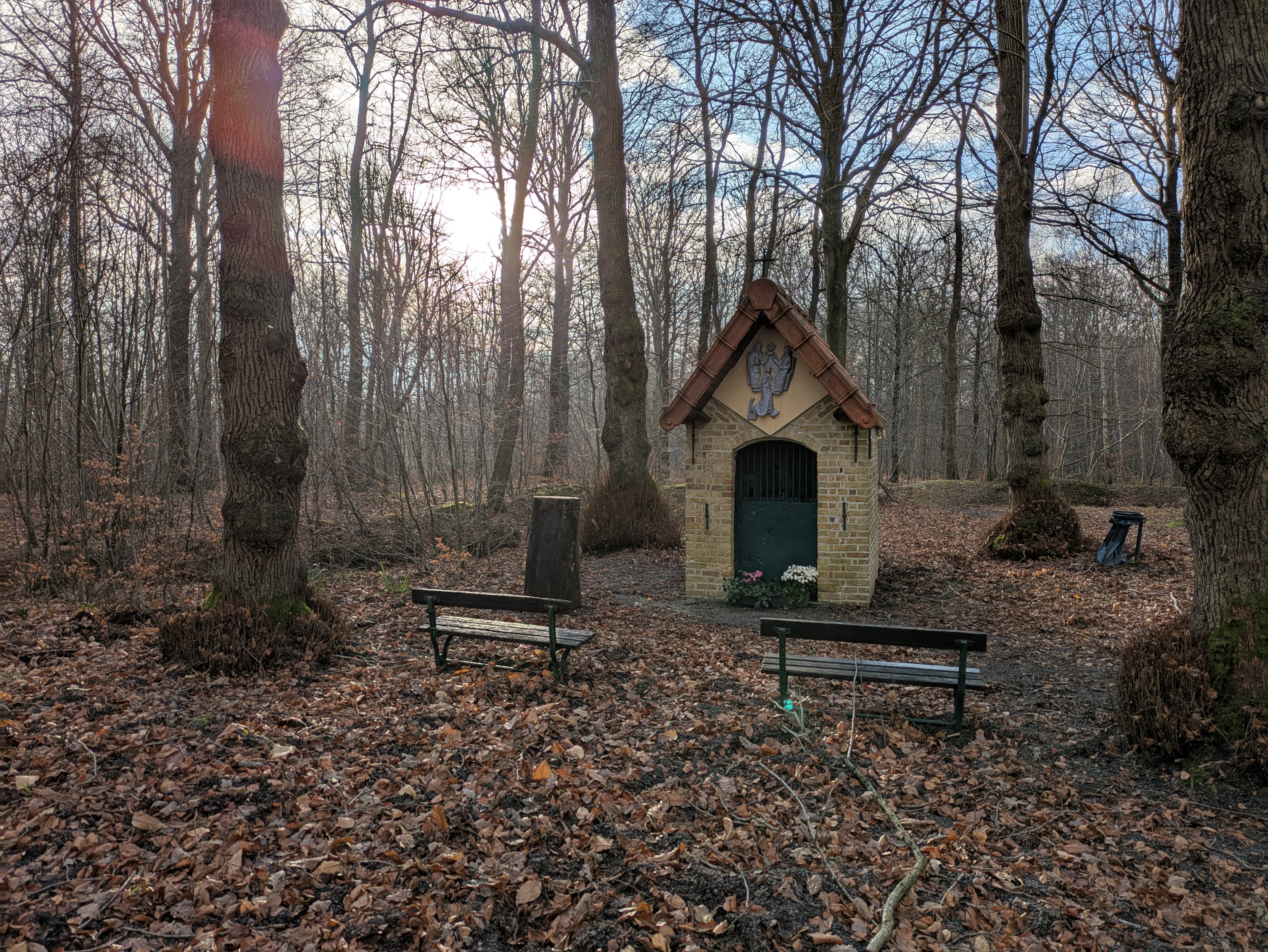
Mieke and I went to Watten (FR) together this morning. We each did our activities, together apart. I went for a run and Mieke for a hike.
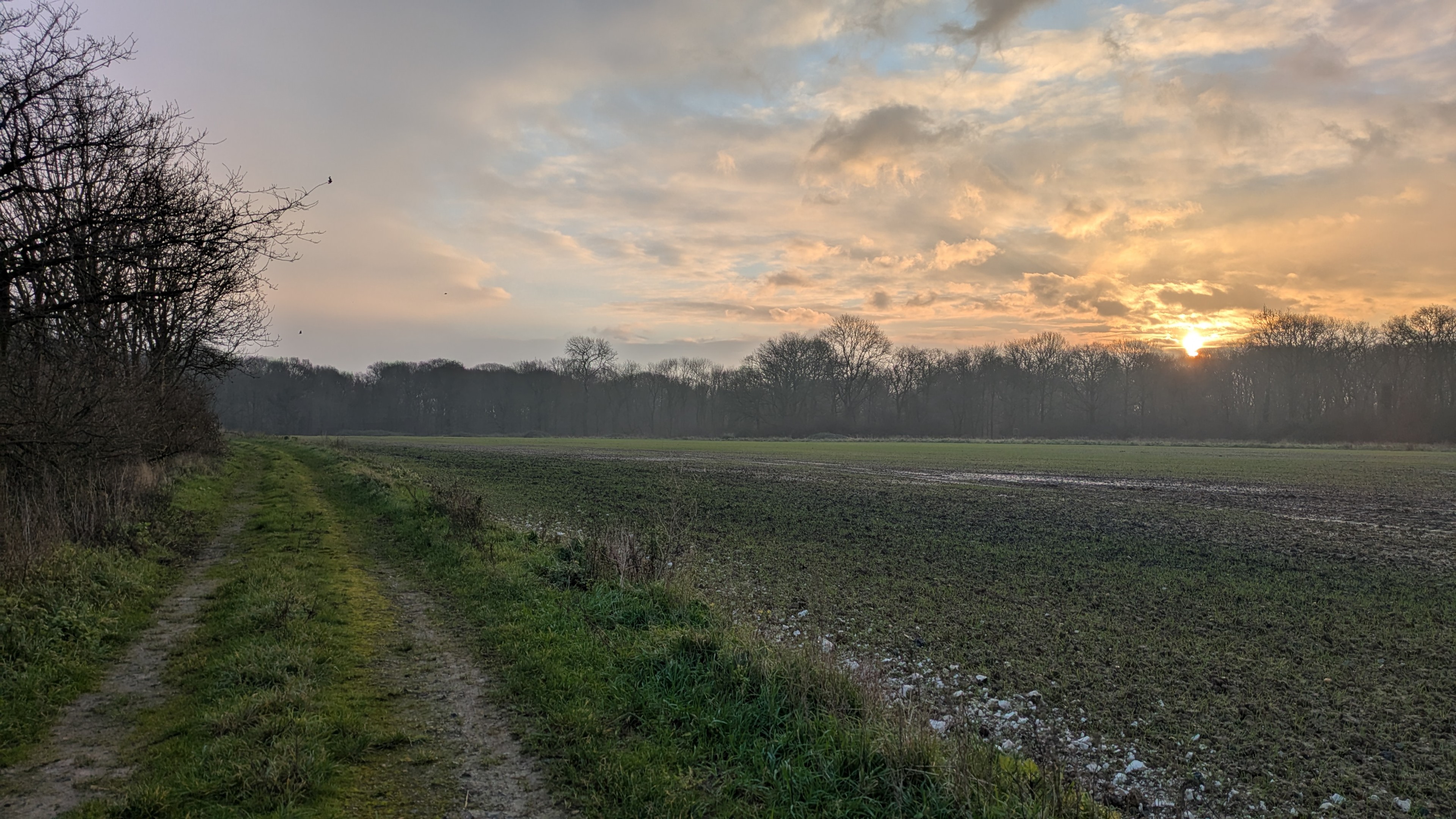
A nice route with a beautiful mix of forest and fields and meadows.
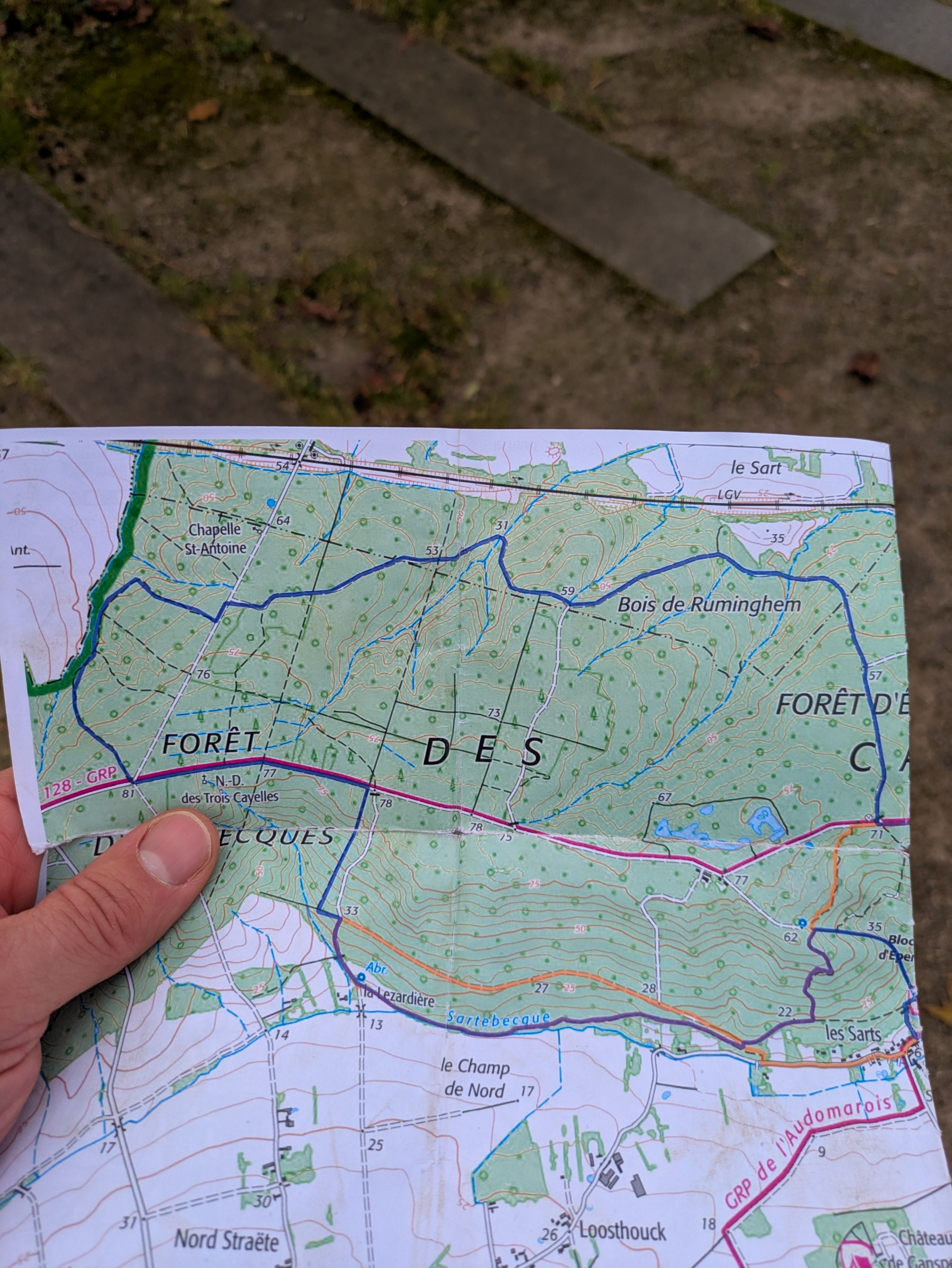
I navigated using a printed map with my course on it. I had to make some adjustments 3 times due to closed gates and "private property" signs.
Proof of printed map.
#running
To build the map, I used QGIS, with a WMS of the local topographic maps at 1:25000 scale, and with the GPX of my route on top of it. Just printed on regular A3 paper.
After handling it for 3 hours, the map was a bit damaged, but that's normal I would think.
@teufen wow, what a super adventure

@teufen I used to print maps... thank you for the reminder that they are great to have for a run.
@teufen Great run you did, as always. 

Looks like a nice area. Any exciting animals you might come across there?
@rcr thanks!
I saw some cows. 
And a troop of 3 deer crossing my path at full speed.