
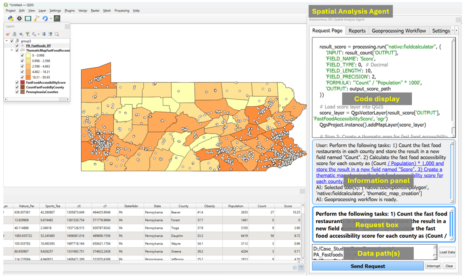
 New preprint! "Spatial Data Science Languages: Commonalities and Needs"
Exploring challenges & insights from #Rstats #Python & #JuliaLang for spatial data handling—geodetic coords, data cubes, and more!
 Read here: https://arxiv.org/html/2503.16686v1


 A new data-driven paradigm for the study of avian migratory navigation


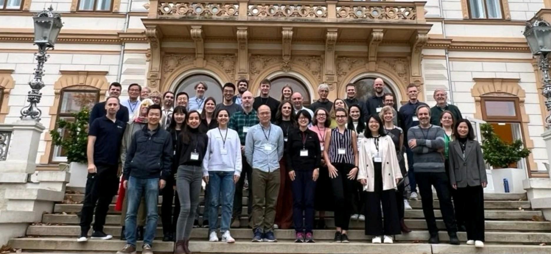
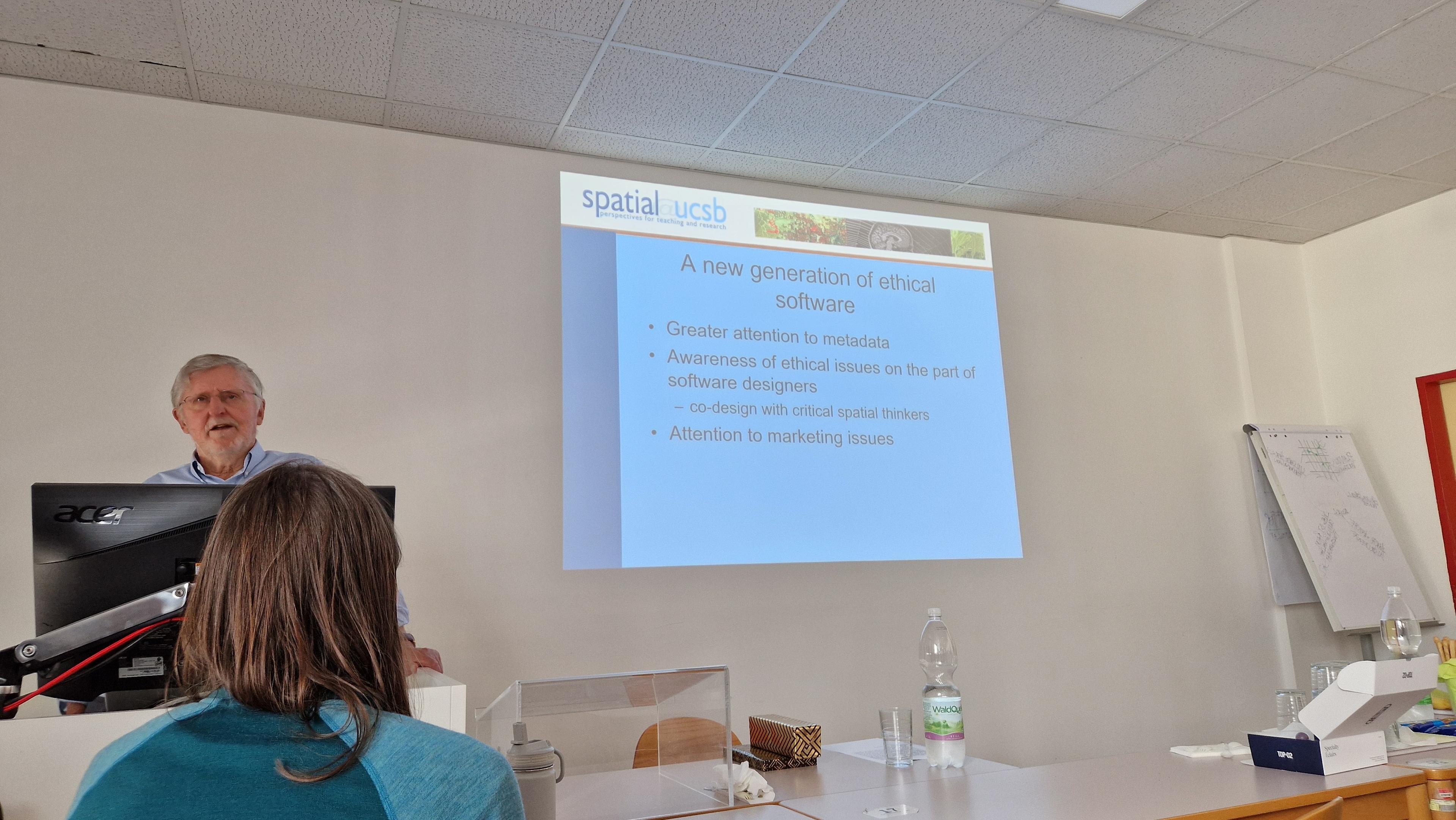
 Check out my slides on 'Learning resources and teaching methods' for Spatial Data Science